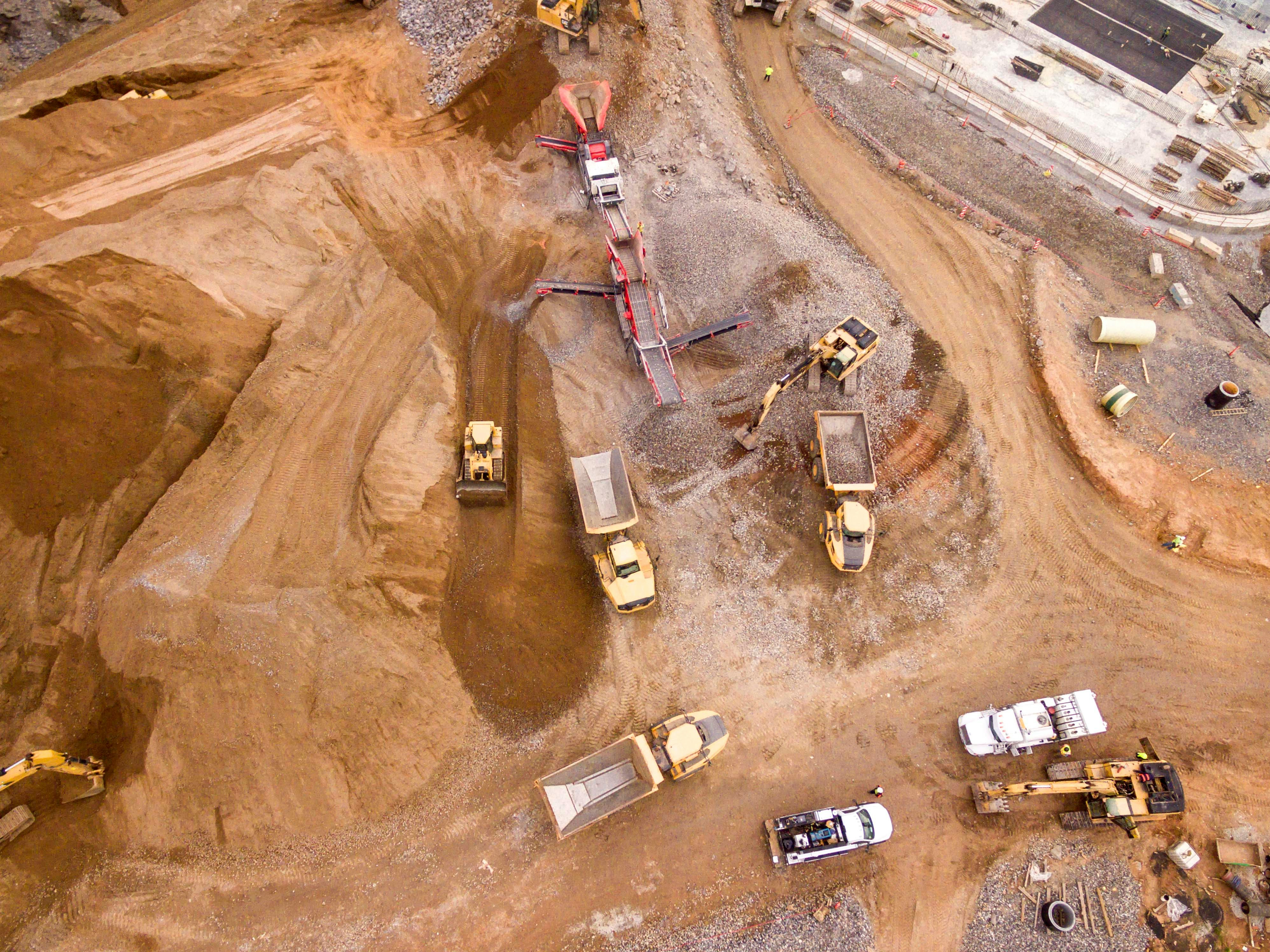

Construction & Excavation
GCs · excavation contractors
Track progress, measure earthwork, and document jobsites with objective aerial records every stakeholder can trust.
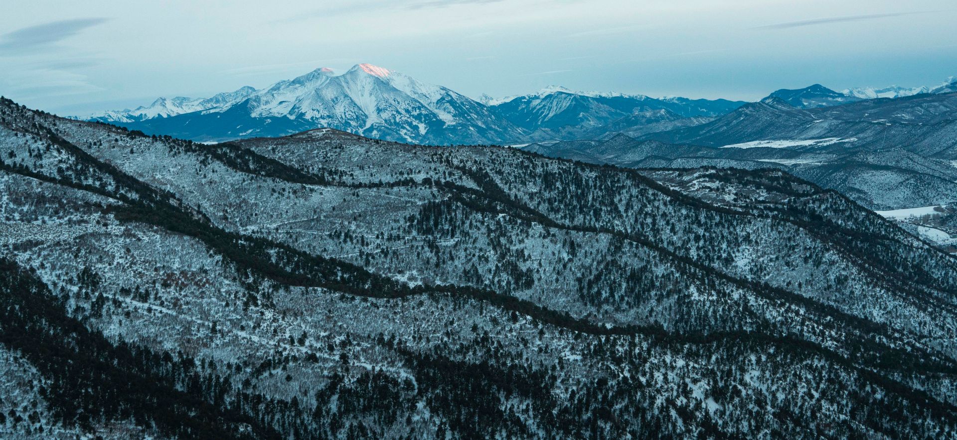
High-accuracy drone mapping, inspections, and 3D data for construction, engineering, and land teams across Durango and the Four Corners.
Why DataPeak
DataPeak Solutions is a Durango-based aerial intelligence firm helping the people who build and inspect the Four Corners make confident decisions. We pair FAA-certified flight operations with ground-control accuracy to deliver mapping, inspections, and 3D models that reduce risk, control costs, and keep projects moving.
What we do
One FAA-certified team, a full suite of aerial services, each delivered as clean, decision-ready data and visuals.
FAA Part 107
Certified & fully insured
Local
Durango & the Four Corners
Full-Service
Mapping, inspections & media
High Accuracy
Enterprise-grade equipment
Who we serve
GCs · excavation contractors
Track progress, measure earthwork, and document jobsites with objective aerial records every stakeholder can trust.
Engineering firms · surveyors
High-accuracy orthomosaics, topos, and point clouds that drop straight into your design and CAD workflows.
Developers · architects
Site context, existing-conditions maps, and 3D models that de-risk planning and speed up approvals.
Roofers · solar & energy providers
Safe, detailed roof and array inspections plus site assessments, without sending crews up a ladder.
Operators · utility companies
Inspect infrastructure, monitor right-of-ways, and document assets across remote, rugged terrain.
Municipalities · public works
Rapid situational awareness, infrastructure mapping, and documentation for agencies and first responders.
Farmers · ranchers
Map fields, monitor crop conditions, inspect irrigation systems, and manage land and water resources across large acreage with high-resolution aerial data.
Agents · property managers
Aerial media and property maps that market listings and developments faster and more memorably.

Get Started
Tell us about your site and goals, and we'll follow up with scope, timeline, and pricing.